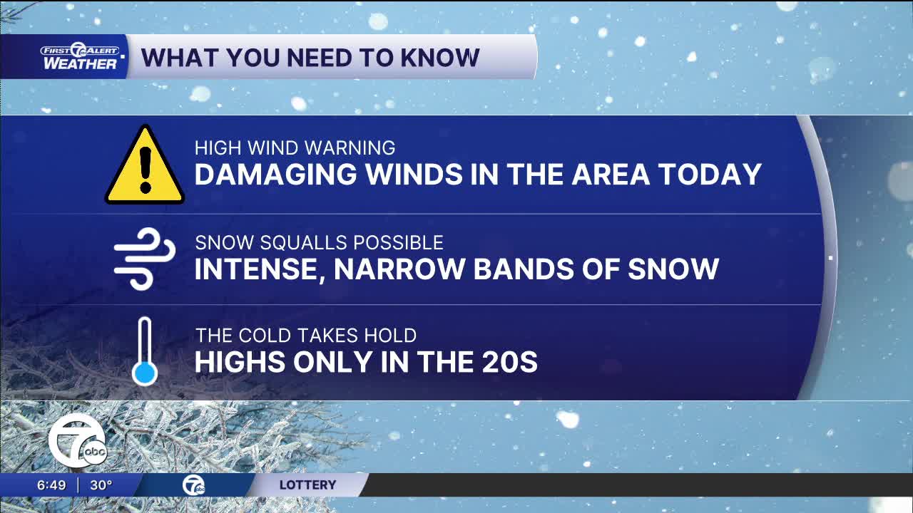


A High Wind Warning has been issued for all of Metro Detroit from 12 AM to 9 PM Monday. Westerly winds 25-35 mph, gusts 50-60 mph are expected.
We'll be dry through the early morning Monday, but winds will rapidly increase during this time. Wind gusts will be near 40 mph overnight and near 50-60 mph during the day Monday. Power outages are possible due to strong winds knocking down trees and power lines.
Snow showers move in by mid-morning and will continue throughout Monday. Snow squalls, narrow bands of intense snowfall that can cause whiteout conditions, are possible. Snowfall will be around 1" across the area, but a few places may get up to 2". The biggest concern is reduced visibility due to blowing snow and potentially slippery driving conditions. Temperatures fall into the 20s throughout the day.
Temperatures remain cold through the rest of the week with highs in the 20s and lows into the teens. Some light snow is expected late Tuesday and Wednesday.
Check out the forecast:
Monday: Snow and windy. Temperatures in the upper 20s. Winds: W 25-35 G60 mph.
Connect with 7 First Alert Meteorologists on Facebook and X:
Facebook: Dave Rexroth , Hally Vogel, Marisa Woloszyn, Mike Taylor
X: Dave Rexroth , Hally Vogel, Marisa Woloszyn, Mike Taylor
Current Conditions
- Humidity: 74%
- Dew point: 19°
- Pressure: 29.68 in
- Wind speed: 19 mph
- Wind direction: WNW
- Visibility: 4.0 mi
- Sunrise: 08:02 AM
- Sunset: 05:08 PM
