

The last mild day for quite a while will be here tomorrow. After that cold air and snow chances will run the rest of the week and possibly through the rest of January. It looks like a pattern shift favoring some real winter weather.
Clouds gradually increase by Tuesday morning with low temperatures in the upper 20s. Wind chills will be in the mid teens in the morning with a southwest wind 15-25 mph.
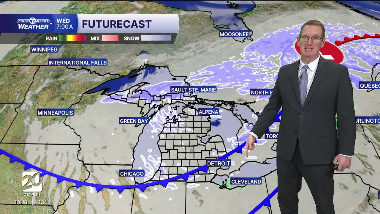
Temperatures climb into the low to mid 40s across Metro Detroit Tuesday. Skies will be mostly cloudy with a chance for rain showers, maybe a little freezing rain, and snow showers north of I-94 in the morning through midday. We'll be dry Tuesday evening before showers pick back up overnight. The first showers will be a mix or rain and snow, before colder air moves in by sunrise Wednesday. Shower chances continue Wednesday as snow, with snowfall up to 1". Higher amounts of 2-3" are possible near Lake Huron as lake effect snow showers continue through Wednesday night.
Colder air pushes in behind two cold fronts dropping highs in the teens and 20s and lows into the single digits and teens Thursday. Through next weekend temperatures will be below average with several snow chances through early next week.
Watch the full forecast
Tonight: Clouds increase late with lows in the upper 20s. Winds: SSW 5-15 mph.
Tuesday: Mostly cloudy with a chance of rain, freezing rain, and snow showers. Highs in the low to mid 40s with 43° in Detroit. Winds: SSW 15-25 mph.
Wednesday: Cloudy skies with a chance of snow showers. Highs will be in the morning and then temperatures drop all day. Winds: NW 15-25 mph.
Connect with 7 First Alert Meteorologists on Facebook and X:
Facebook: Dave Rexroth , Hally Vogel, Marisa Woloszyn, Mike Taylor
X: Dave Rexroth , Hally Vogel, Marisa Woloszyn, Mike Taylor
Current Conditions
- Humidity: 76%
- Dew point: 7°
- Pressure: 29.79 in
- Wind speed: 12 mph
- Wind direction: NW
- Visibility: 2.7 mi
- Sunrise: 07:59 AM
- Sunset: 05:25 PM
