

A blast of arctic air returns and remains in place through the weekend. Highs will only reach the upper 20s Friday ahead of a cold front. Behind it we drop to around 20° & wind chills below 0°
See the full forecast in the video below
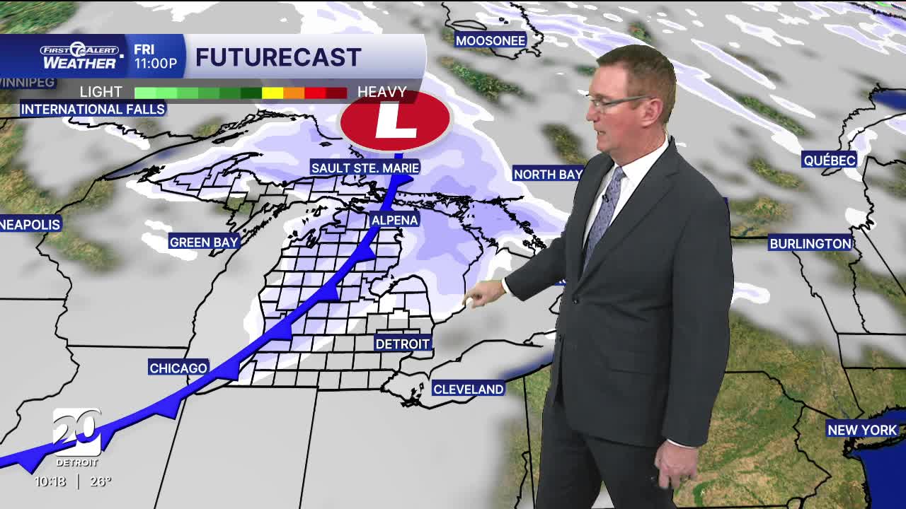
Tonight stays chilly with more clouds and a few lingering flakes. Tomorrow brings similar vibes: still cold, still mostly cloudy, and still carrying a chance for some flurries, especially late. Highs stay locked in the 20s.. Overall, the "mid-winter" pattern continues to hold with cold, gray, and just active enough to keep snow chances around without delivering a full storm.
This weekend brings back more winter woes across Metro Detroit as colder air settles in and a couple of weak disturbances swing through. Saturday carries the better snow chance — mainly scattered snow showers during the afternoon and evening — and while this doesn’t look like a big system, a light coating is possible in spots, especially north and west of the city. Roads could briefly turn slick where bursts of snow occur. Sunday, the system pulls away but the cold really digs in, with highs struggling to reach the 20s and wind chills feeling even colder. A few lingering flurries can’t be ruled out, but the bigger story is the return of Arctic air, keeping the entire day feeling sharply colder and reminding us winter isn’t letting go anytime soon.
Tonight: Mostly cloudy skies with lows in the teens. Winds: Light
Friday: Clouds increase with highs in the upper 20s. Winds: SW 5 mph
Saturday: Mostly cloudy with a slight snow chance. Highs in the low 20s with wind chills below zero to start and only reaching the single digits during the day. Winds: W 15-25 mph.
Connect with 7 First Alert Meteorologists on Facebook and X:
Facebook: Dave Rexroth , Hally Vogel, Marisa Woloszyn, Mike Taylor
X: Dave Rexroth , Hally Vogel, Marisa Woloszyn, Mike Taylor
Current Conditions
- Humidity: 76%
- Dew point: 18°
- Pressure: 30.11 in
- Wind speed: 2 mph
- Wind direction: W
- Visibility: 10.0 mi
- Sunrise: 07:53 AM
- Sunset: 05:00 PM
