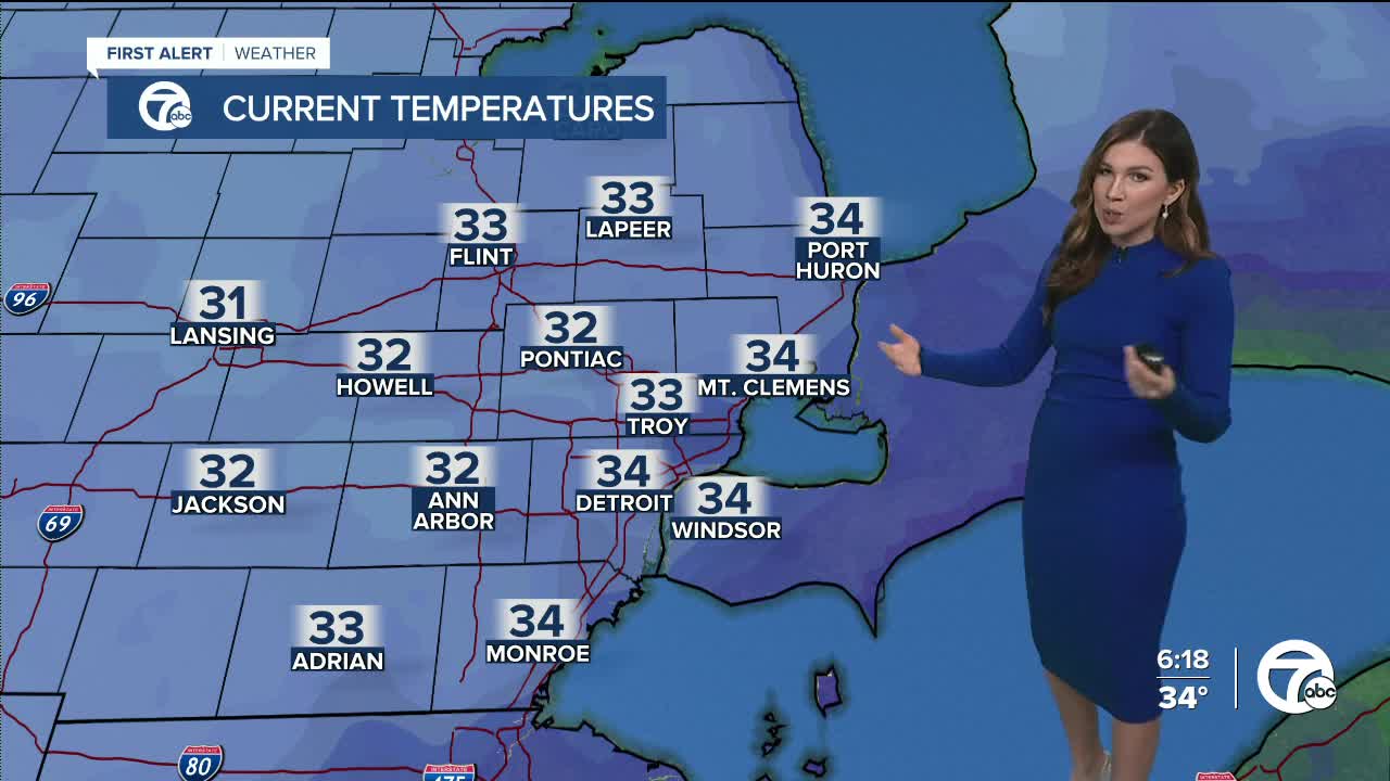


After a snowy Sunday, isolated snow showers continue into the workweek. With the isolated snow showers, Monday will also be cold with temperatures starting in the mid to upper 20s and ending near 32°. Wind chills will remain in the 20s with westerly winds 15 mph, gusts near 30 mph.
Tuesday and Wednesday will mainly be cloudy and dry, however there is a chance we could have a few light snow if some lake effect bands make it to southeast Michigan. Temperatures remain cold with lows in the upper teens and low 20s, with highs in the low to mid 30s. Wind chills will be in the 20s with northwesterly winds 15 mph, with gusts near 25-30 mph.
Thursday will be mostly cloudy and dry, before rain returns Friday. Highs temperatures climb into the low 40s by the end of the week.
Tonight: Isolated snow showers with lows in the mid to upper 20s. Wind chills: low 20s. Accumulation: <1/2". Winds: SW 10-15 G25 mph.
Monday: Isolated snow showers with highs in the upper 20s to low 30s. Wind chills mid 20s. Accumulation: <1/4". Winds: W 15 G30 mph.
Tuesday: Mostly cloudy with a slight chance for light snow. Highs near 30° with wind chills in the low to mid 20s. Winds: NW 15 G25 mph.
Detroit weather 7-day forecast
Connect with 7 First Alert Meteorologists!
Facebook: Dave Rexroth, Hally Vogel, Mike Taylor, Marisa Woloszyn
Twitter: Dave Rexroth , Hally Vogel , Mike Taylor, Marisa Woloszyn
