

A Wind Advisory is now in effect until 9 p.m. for Metro Detroit.

Watch the full forecast below:
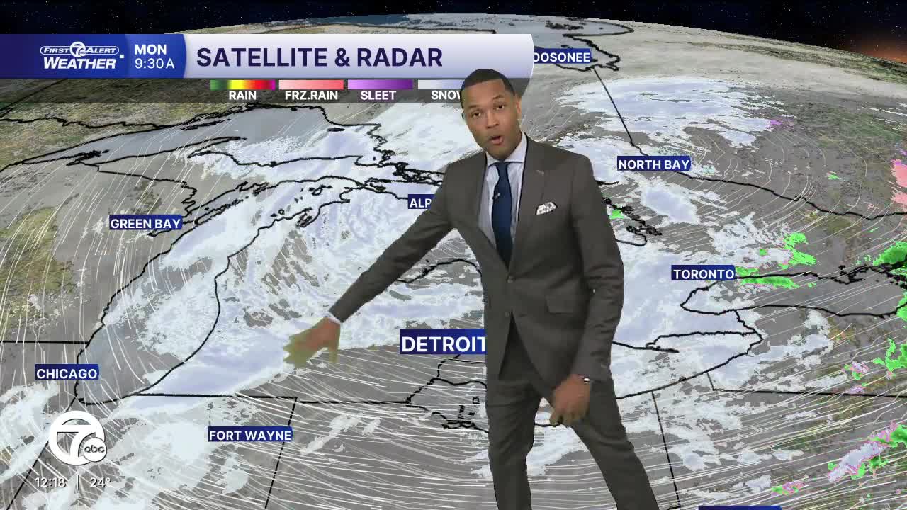
The Detroit area is in for a fast-changing Wintry day as the Wind Advisory with sustained winds around 25–35 mph and gusts near 45 – 50 mph takes over for much of the day. Along with the wind, we'll get snow showers and squalls as well, meaning visibility can drop quickly and roads can go from “fine” to slick in a hurry—especially on open stretches, bridges, and during heavier burst of snow late this morning thru the afternoon. Totals aren’t huge (generally light accumulations), but blowing snow + rapid bursts are what make it dangerous. Temperatures stay cold with highs around the upper 20s.


Tuesday will feel like a cold, classic Winter day as well, with mostly cloudy skies and temperatures struggling to climb above the upper teens and low 20s. It won’t be a dramatic storm day like Monday, but the breezy winds and chilly temps will put the wind chills in the single digits at times. There’s a chance of a few light snow showers off & on throughout the day, mainly earlier in the morning and again into the evening. Any accumulations will likely be very light.
Wednesday's highs are expected to reach the mid to upper 20s keeping the atmosphere cold enough for snow when moisture moves in. Several models are picking up on snow heading for Detroit, which could bring a quick 1" - 3" of snow. Skies will be mostly cloudy much of the day, which will help keep temperatures down and maintaining that winter vibe. If snow does develop, it will most likely come in spotty bursts or brief snow showers that could reduce visibility and briefly make roads slick, especially on untreated surfaces like bridges and backroads.
Today: Gusty winds, snow showers and cold temps expected today. Highs will be in the mid to upper 20s. Winds: WSW 25-35 with gusts 45+ mph.
Tonight: Calmer winds but still gusty. Lows will drop into the low 20s. Winds: WNW 15 - 25 mph.
Tuesday: Cloudy with snow showers during the afternoon. Highs around 26. Winds: WNW 10-20 mph.
Connect with 7 First Alert Meteorologists on Facebook and X:
Facebook: Dave Rexroth , Hally Vogel, Marisa Woloszyn, Mike Taylor
X: Dave Rexroth , Hally Vogel, Marisa Woloszyn, Mike Taylor
Current Conditions
- Humidity: 74%
- Dew point: 19°
- Pressure: 29.68 in
- Wind speed: 19 mph
- Wind direction: WNW
- Visibility: 4.0 mi
- Sunrise: 08:02 AM
- Sunset: 05:08 PM
