



Partly cloudy sky overnight and a chance of fog. Humidity will fall a little tonight and it will slowly feel more comfortable Thursday, but there won't be lots of sunshine.
Thursday looks much quieter. Expect a mostly cloudy sky throughout much of the day, but the forecast is largely dry. Temperatures rise from the upper 60s around 8 AM into the middle and upper 70s during the afternoon, topping out around 77°.
Humidity will also take a noticeable dip heading toward the end of the week. Dew points fall from around 68° Wednesday to 63° Thursday and then into the mid-50s Friday, making Friday feel considerably more comfortable. Humidity gradually returns this weekend before turning muggy again early next week.
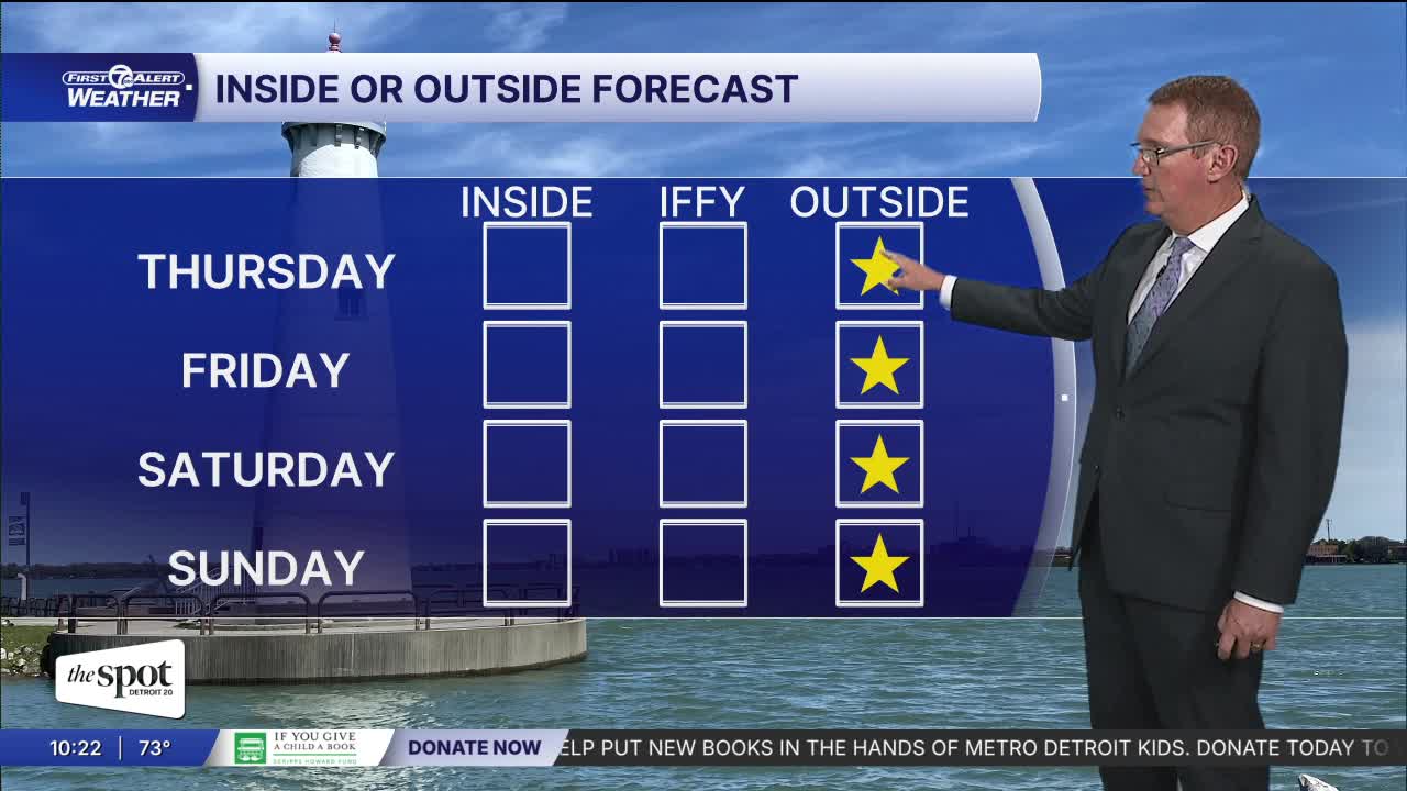
The extended forecast features a nice finish to the workweek and a warmer weekend. Friday reaches around 78° with some sunshine, followed by a warmer Saturday near 83°. There is a slight rain chance late Sunday with a high around 80°. Shower and thunderstorm chances return early next week, with a 20% chance Monday and a higher 40% chance Tuesday as highs climb from the upper 70s Monday to around 81° Tuesday.
Tonight: Clouds decrease. Areas of fog will be possible with lows in the low to mid 60s including 66° in Detroit. Winds: W 5-10 mph.
Thursday: Partly to mostly cloudy with highs in the upper 70s. The air will slowly dry out through the day. Winds: NW 5-15 mph.
Friday: Mostly sunny with highs in the upper 70s. Winds: SE 5 mph.
Connect with 7 First Alert Meteorologists on Facebook and X:
Facebook: Dave Rexroth , Hally Vogel, Marisa Woloszyn, Mike Taylor
X: Dave Rexroth , Hally Vogel, Marisa Woloszyn, Mike Taylor
Current Conditions
- Humidity: 70%
- Dew point: 54°
- Pressure: 30.12 in
- Wind speed: 9 mph
- Wind direction: SSE
- Visibility: 10.0 mi
- Sunrise: 07:13 AM
- Sunset: 07:42 PM
