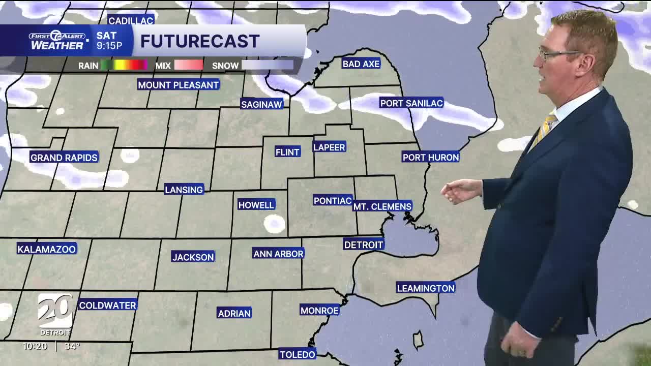


Chillier temperatures return this weekend, 30s for highs and a cold breeze, with increasing snow chances. Around 1" of new snow is likely Saturday night through Sunday.
This weekend starts with cloudy skies and chillier temperatures Saturday. Snow showers are likely north of I-69, with flurries south. High temperatures climb into the upper 30s, but a breezy will keep it chilly. Snow showers pick up late Saturday night/early Sunday and will be on and off throughout the day. Accumulation is expected and will be around 1", with higher amounts near 2" possible north of I-69. High temperatures will be in the low to mid 30s,
Next week starts off chilly with highs stopping just below the freezing mark Monday and Tuesday. Wind chills will also be in the teens and 20s. Temperatures warm midweek with chances for snow Tuesday night into Wednesday and a rain/snow mix Wednesday night into Thursday.
See the full forecast in the video below
Tonight: Cloudy and a few flurries possible north with lows in the low 30s. Winds: W 10-20 mph.
Saturday: Cloudy with flurries. Highs in the mid 30s. Winds: W 10-20 mph.
Sunday: Snow showers. Accumulation around 1". Highs in the low 30s. Winds: NW 5-15 mph.
Connect with 7 First Alert Meteorologists on Facebook and X:
Facebook: Dave Rexroth , Hally Vogel, Marisa Woloszyn, Mike Taylor
X: Dave Rexroth , Hally Vogel, Marisa Woloszyn, Mike Taylor
Current Conditions
- Humidity: 81%
- Dew point: 28°
- Pressure: 29.79 in
- Wind speed: 15 mph
- Wind direction: WSW
- Visibility: 10.0 mi
- Sunrise: 07:20 AM
- Sunset: 06:13 PM
